18 Fun Exmouth Walks for All Abilities
Whether you’re looking for the best Exmouth walks for avid hikers or just want something easy that all the family will enjoy, this post is a list of all of the wonderful hikes you can do around this Devon town.
Some of my family have lived in Exmouth for my whole life, and I’m currently living here myself while training to hike the South West Coast Path this summer! So I’ve done all of these hikes in Exmouth time and time again – and I’m eager to share them all with you!
Where is Exmouth?
Exmouth is a town on the south coast of East Devon. Orcombe Point – the western end of the Jurassic Coast – is about two miles from the town centre. The town is also on the South West Coast Path, so a lot of the best hikes in Exmouth include this seaside path!
That’s not all the amazing hikes Exmouth has to offer though. The town sits on the Exe Estuary, which has its own hiking and cycling trail. And there is also moorland accessible from the town – so you’ve got lots of choices when deciding where to hike in Exmouth!
There are so many walks that take in the epic nature around Exmouth, and this blog post will help you decide the perfect one for you!
You can read my blog post about how to get to Exmouth here.
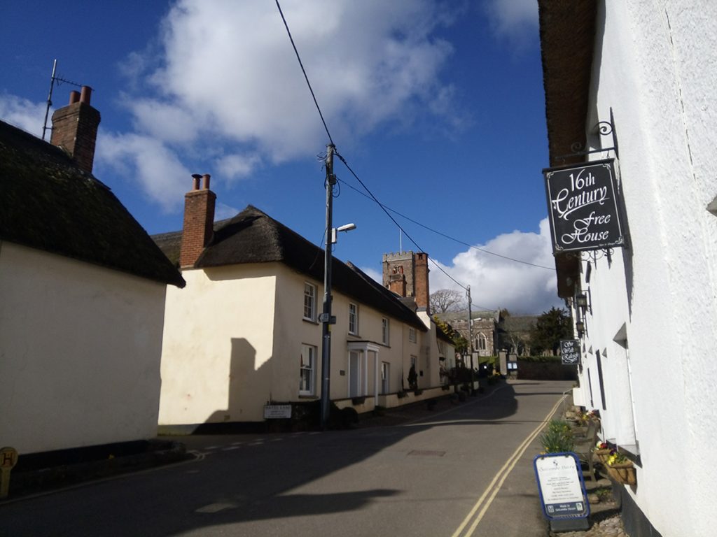
Guided walks in Exmouth
Want an easy walk where you can check Exmouth’s best viewpoints and hear fascinating tales from town?
I bring you Exmouth walking tours. This is a tour company started by myself and my partner – two Exmouth locals who’ve spent a long time researching the hidden secrets of the town!
It travels from the town centre to the beach, relaying stories of smugglers, the first Georgian tourists, pirates, Tudors and World War Two history, along with plenty of tips about where to eat and what to do while you’re in town.
Tours run Fridays, Saturdays, Sundays and Mondays throughout the summer.
For more information and to book tickets, check out my Exmouth Tours website!
Coastal Walks in Exmouth: South West Coast Path
The South West Coast Path spans the coastlines of part of Somerset, Devon, Cornwall and Dorset. The entire route is 630 miles, a few of which pass through Exmouth. The following hikes are all part of the South West Coast Path!
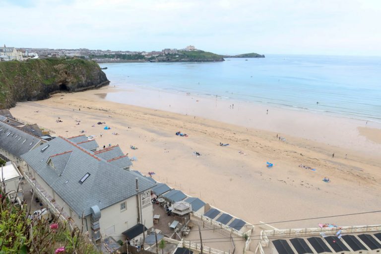
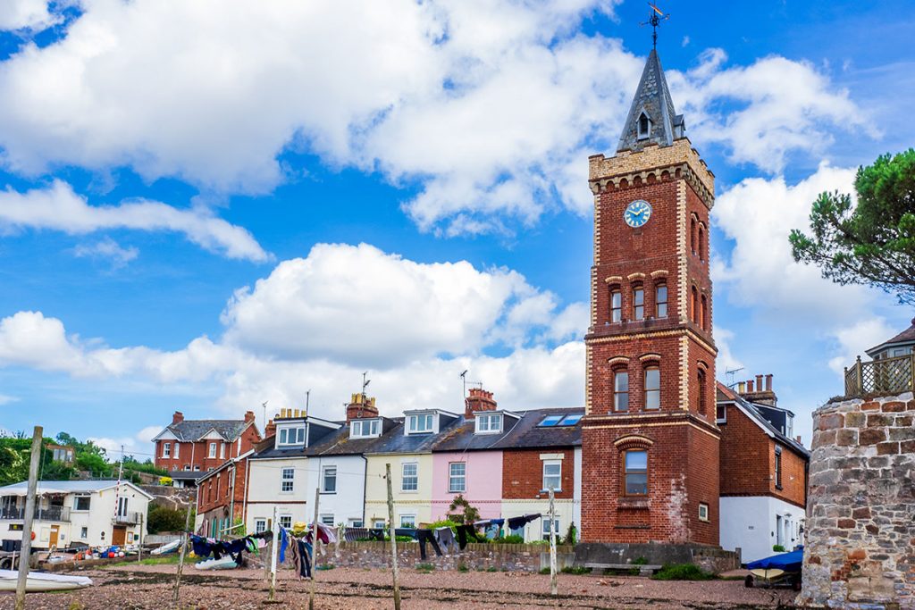
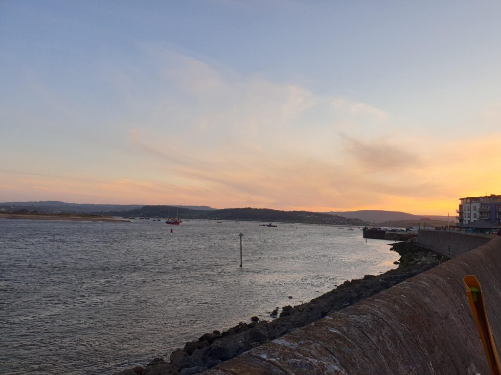
Exmouth Seafront Walk
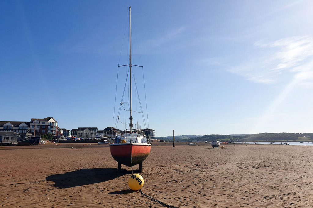
35 minutes, 1.7 miles/ 2.73 km. Difficulty level – easy. Wheelchair accessible.
Possibly the most popular and famous walk in Exmouth is simply walking along its lovely seafront. Exmouth has an expansive sandy beach that’s really popular with locals and tourists alike. It’s also a popular location for dog walking.
In the warmer months, this beach has a fantastic atmosphere, and many of the best things to do in Exmouth are here. There are traditional British seaside attractions like arcades and funfair rides, as well as more modern enterprises such as Mickey’s Beach Bar and watersports shops.
You’ll enjoy views of the cliffs from one end and the estuary – with Dawlish Warren on the other side – on the other.
Just a word of warning – when you reach the cliffs, don’t attempt to walk to Sandy Bay unless you are very sure of tide times and know that you won’t get cut off, and have walked on similar beaches before. This part of the beach can easily become cut off, which can be dangerous – if you do ever get cut off by the tide, you will need to ring 999.
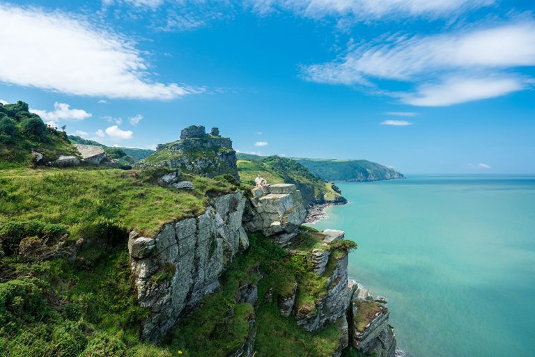
Devon Cliffs to Exmouth Coastal Walk
40 minutes, 1.9 miles/ 3 km. Difficulty level – medium. Not wheelchair accessible.
Devon Cliffs is a Haven holiday park about 3 miles from Exmouth town centre. You might be staying here if you’re in Exmouth – and if you are, you can do a lot of walks from here! Here’s my blog post about where to stay in Exmouth, with some places in Devon Cliffs.
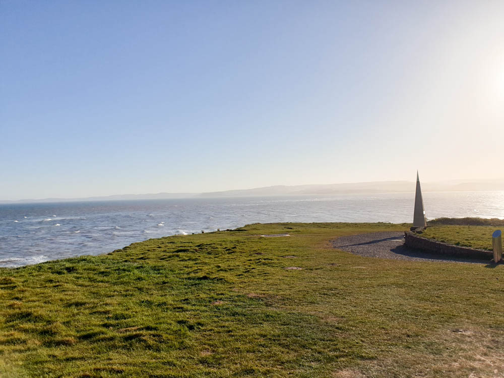
From South Beach Cafe, walk in an Easterly direction and follow signs for Orcombe point. Keep the coast on your left – make sure that you stick to the path, however, as these cliff edges can be dangerous.
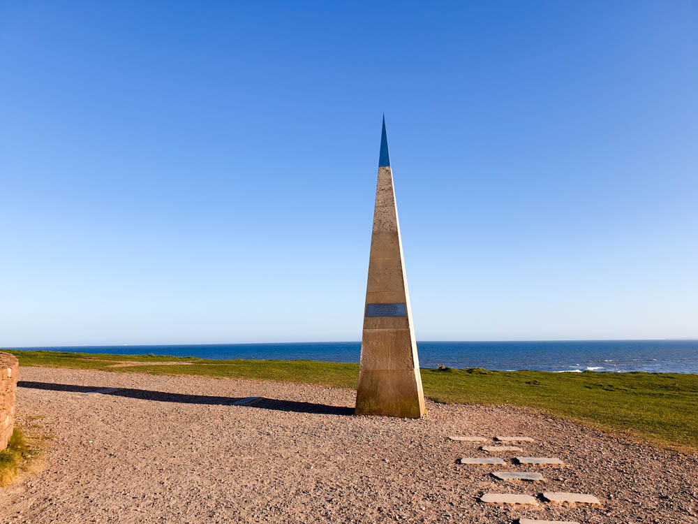
Eventually, you’ll reach Orcombe Point. This obelisk marks the start of the Jurassic Coast and was unveiled by Prince Charles in 2002.
Continue making your way along the footpath until you reach a path that slopes down. Take this path – it will zig-zag a few times as it goes down the hill – and you’ll reach Exmouth beach. You can also walk along the clifftop a bit further and descend some steps.
Now you’re on Exmouth beach! You can walk along this beach until it meets the estuary, stopping at any points of interest along the way. If you want to go to Exmouth town, you’ll need to turn right before you reach the marina.
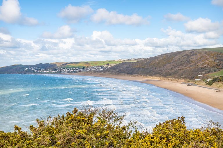
Exmouth to Budleigh Salterton Circular Walk
2 hours, 6 miles/ 10 km. Difficulty level – medium. Not wheelchair accessible.
This is one of my favourite Exmouth walks – a scenic route that will give you an excellent idea of what the South West Coastal Path offers. From the end of Exmouth Beach, walk up the cliffs to Orcombe Point. From here, it’s an easy walk following the path to Devon Cliffs – if you’re staying at the Haven caravan park, you can join here.
Keep following the path, keeping the sea on your right. Make sure that you stick to the track and don’t go any closer to the cliff edge. You should find that the pathway is marked out clearly, with acorns indicating where to go.
It’s about 6 miles or 10 kilometres from Exmouth Beach to Budleigh Salterton. Eventually you’ll see it – keep following the path until it descends the cliff and into the town.
If you want to make it a circular walk, you can walk through the high street, continue in a Northerly direction and eventually reach Bear Lane (Google Maps location), where you can hike the Budleigh Salterton Railway Path back to Exmouth. This path used to be a railway, but it is now a cycling and hiking trail. It’s a gentle path that will take you through peaceful green fields and woodland.
See my full blog post about the Exmouth to Budleigh Salterton Hike here.
Exmouth to Ladram Bay Walk
3 hours 30 minutes, 8.5 miles/ 13.5 km. Difficulty level – medium to difficult. Not wheelchair accessible.
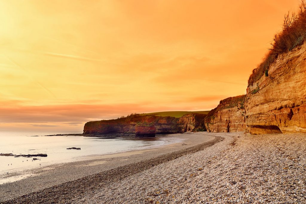
If you’re after longer hikes near Exmouth, try this Exmouth to Ladram Bay walk. Once you get to Budleigh Salterton, you will need to keep walking with the beach on your right – eventually, you’ll reach the River Otter. Walk upstream for about a mile before crossing over a footbridge, and then walk back toward the coast.
If you keep following the coastal path, you’ll eventually reach Ladram Bay Caravan Park. From here, you can take an inland route to get to Otterton and cross the moors to return to Exmouth. You can see my directions for the hike here, but you will need your own OS map too.
Exmouth to Sidmouth Walk
4 hours 30 minutes, 12 miles/ 20 km. Difficulty level – difficult. Not wheelchair accessible.
This is another extension on the Exmouth to Budleigh Salterton/ Ladram Bay walk. If you keep following the coastal path, you’ll eventually reach Peak Hill and, shortly after, descend into Sidmouth.
You could hike back or walk through the moors if you are an avid hiker and leave early enough. However, most people will probably opt to take the bus back! The 157 leaves Sidmouth once per hour Monday – Saturday (not bank holidays). Check times before you go to confirm that there is a bus running.
Riverside Exmouth Walks: Exe Estuary Trail Walks
The Exe Estuary spans from Exeter in the north, down to Exmouth and Dawlish Warren in the south. The estuary is lined by a cycling route, but it’s also ideal for walks near Exmouth. Here are some ideas for hikes that you can do around the Exe Estuary!
Exmouth to Lympstone Walk
1 hour, 3 miles/ 5 km. Difficulty level – easy. Wheelchair accessible.
This is one of the easiest Exmouth walks on the first part of the Exe Estuary.
Start at Exmouth Station and keep the water on your left as you walk in a northerly direction. You’ll eventually reach a footpath – take this. This is the start of the Exe Estuary Trail.
You can also join the Exe Estuary trail from this footpath on Exeter Road (near A La Ronde).
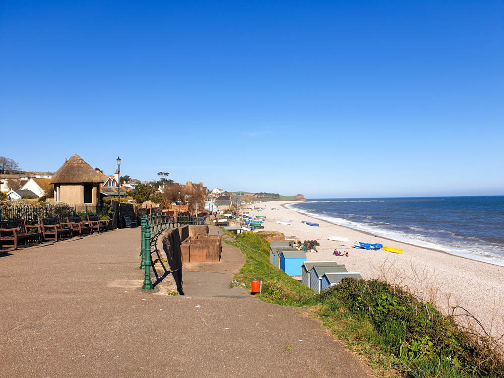
You’ll see some beautiful riverside scenery as you hike and eventually you’ll get to the village of Lympstone. When the tide is out, the beach is spectacular here – but any time of day, it’s a pleasant place to stop and relax and have a picnic or enjoy a pub lunch.
You can either walk back or take the bus or train.
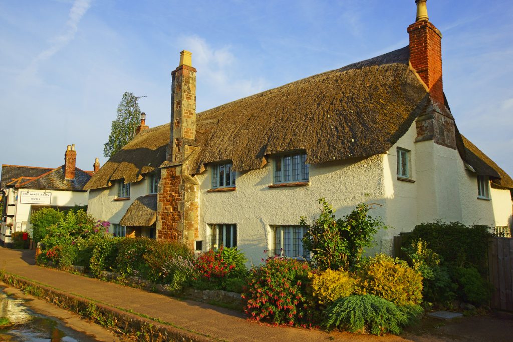
Exmouth to Topsham Walk
2 hours, 6 miles/ 10 km. Difficulty level – easy. Not wheelchair accessible.
This is a continuation of the Exmouth to Lympstone path. Carry on hiking upstream, and eventually, you’ll get to the village of Exton. Exton is a small place, but it does have the Puffing Billy Pub which is a lovely spot to get a drink or lunch. Keep an eye out for birdwatching platforms – there are lots of places to watch out for different birds here.
The path eventually leads to Topsham, a 17th-century town and historic port. You can learn all about this in the Topsham museum!
From Topsham, you can take the train or bus back to Exmouth, or if you want to visit Exeter, you can carry on walking.
Exmouth to Exeter Walk
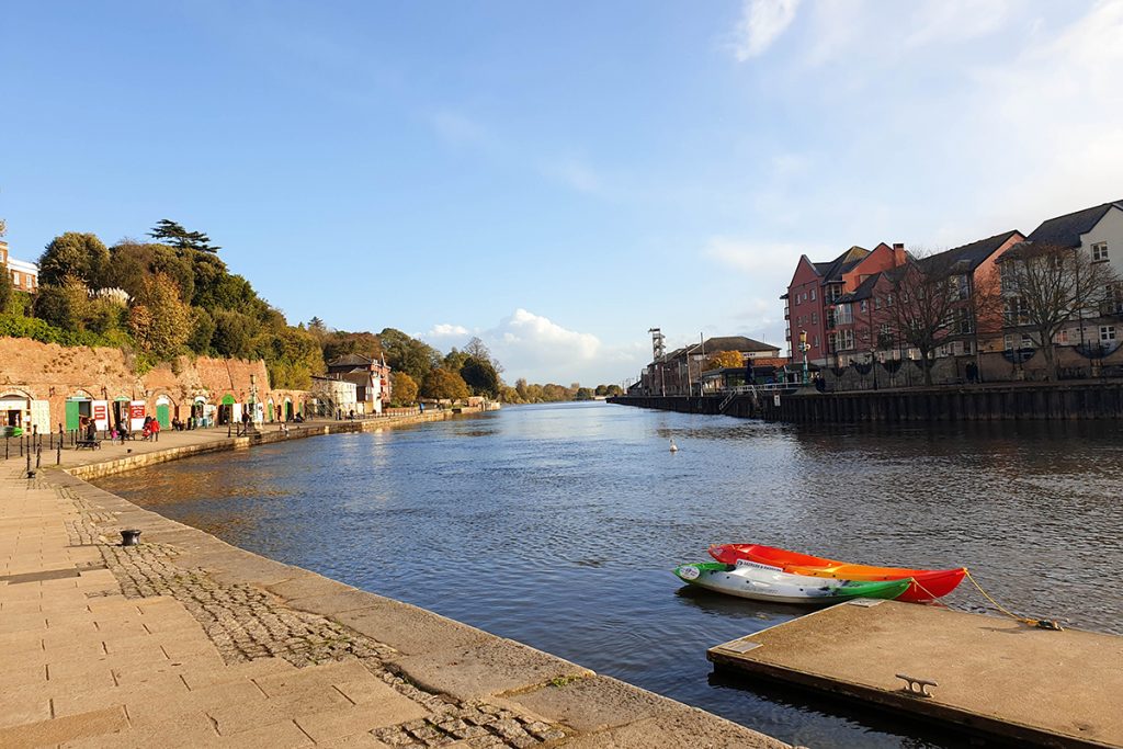
3 hours 15 minutes, 10 miles/ 16 km. Difficulty level – easy. Not wheelchair accessible.
If you want to continue your hike, stick to the path and follow the river as it narrows and leads to Exeter.
You’ll eventually arrive at Exeter Quay. If you’ve got some energy, you could check out some of the things to do in Exeter, including Exeter Cathedral, the Exeter city walls, the RAMM Museum, and Exeter Tunnels. Alternatively, just kick back at a Quayside restaurant – I love On the Waterfront – and watch the world go by!
To return to Exmouth, you can either hike back (if you have time and energy!) or take the 57 bus or train.
Exmouth to Starcross (ferry return)
4 hours, 12 miles/ 20 km. Difficulty level – medium. Not wheelchair accessible.
This is one of the longer walks around Exmouth, but it’s worth it if you’ve got the time!
If you want to hike the entire Exe Estuary, you will need to walk to Topsham and then get across to the other side. The Topsham Ferry crosses this stretch of the river – times do change, so make sure that you check them before heading out.
You can then follow the path down through the Exminster Marshes. Eventually, Powderham Castle will be on your right – this is a privately owned castle that you can visit – click here for more information.
You’ll see some lovely views over the other side of the estuary and eventually reach the scenic village of Starcross. From here, you can take a ferry back to Exmouth. You can also walk down all the way to Dawlish Warren, a popular coastal town. However, from here, you’ll either have to walk back to Starcross for the ferry or take a train or bus back to Exmouth.
Inland Exmouth Hikes
Bystock Pools
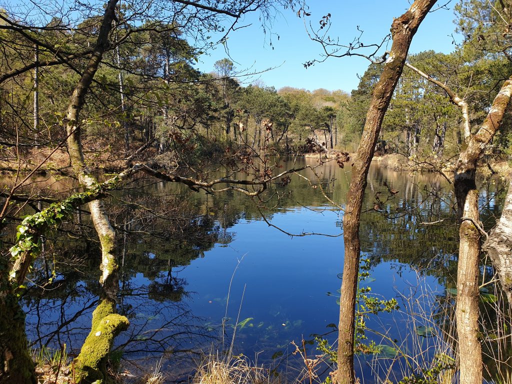
1 hour 10 minutes if hiking from Exmouth – 3 miles/ 5 km. Difficulty level – medium. Not wheelchair accessible (but you can drive to the pools and park there to enjoy the nature without walking).
This is a popular inland nature spot and Exmouth dog walk that most people drive to, rather than hiking. However, it is on the way to Woodbury Castle, so I’ve always hiked here!
From Exmouth Beach, you will need to walk through the whole town to get to Brixington, and eventually St John’s Road (Google Maps location). Keep hiking up this road – it is a country lane but there isn’t usually much traffic, although you should be mindful of cars – and you’ll eventually get to a junction. Cross over, and Bystock Pools will be on your left.
If you’ve hiked up here, you’ll probably want to spend some time here! There are some spots for a picnic, or you can carry on walking to Woodbury Castle (see below).
Woodbury Castle
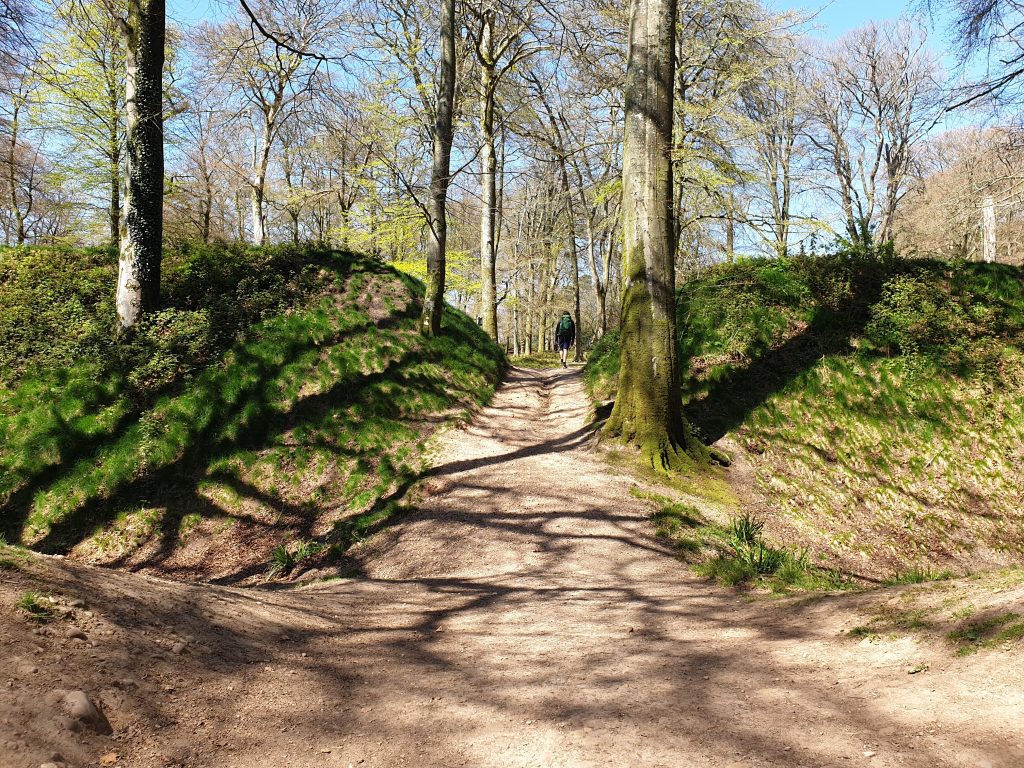
4 hours, 12 miles/ 20 km. Difficulty level – medium to difficult. Not wheelchair accessible.
This hike is part of the East Devon way – a longer 38-mile route from Exmouth to Budleigh Salterton, and one of the most popular hikes near Exmouth. If you have the time (ie. multiple days), you could hike the whole thing! Here’s some information about it.
From Bystock Pools, you will need to hike in a generally northerly direction to get to Woodbury Castle. Follow markers for the East Devon way or use an OS map or the Maps.me app.
You’ll walk past some water-filled quarries – these are fenced off, and you shouldn’t get too close to them, but you can admire them from afar!
Eventually, you’ll reach Woodbury Castle. This is an iron age fort and is quite an impressive ancient structure!
This is a one-way hike, so you will need to return the same way or find a different route with your OS map.
Hike to East Budleigh
Roughly 2 hours 30, 8 miles/ 12 km. Difficulty level – medium strenuous-wise, but you will also need navigational skills. The hike itself is not wheelchair accessible but you can drive and park in East Budleigh instead.
You can hike to Bystock Pools, as recommended earlier, and navigate various pathways to reach East Budleigh. This is a charming village where Sir Walter Raleigh was born.
The route is not waymarked, and you will need a map to find it for yourself. We managed to do it without going on any country lanes.
You can also drive or take the bus from Exmouth to East Budleigh. It’s a tiny place, but it’s a quintessentially British village that’s worth spending a while looking around!
Hike to Otterton
Roughly 2 hours 30, 11 miles/ 18km. Difficulty level – medium strenuous-wise, but you will also need navigational skills.The hike itself is not wheelchair accessible but you can drive and park in Otterton instead.
Otterton is a little bit further than East Budleigh. Again, you’ll need an OS map – we ended up walking on a country road for a small part of this hike.
Otterton is famous for its mill and the River Otter, where beavers appeared in 2015 after a 600-year absence! It’s a great place to visit near Exmouth, so if you don’t fancy hiking, you could always drive there and explore!
Walks around Exmouth
There are lots of walks in Exmouth town centre and near the beach that you can do. This selection of Exmouth walks are all easy, family-friendly, and accessible.
Phear Park
Phear Park is a park in the residential part of Exmouth. It has one walking trail around the edge, as well as a few fishponds. It’s a pleasant place to get a quick dose of nature and is good for a short walk.
Exmouth Flower Trail
Exmouth is a proud ‘Town of Flowers’ and has regularly won the Southwest in Bloom award. You can take this in on the Exmouth flower trail, a leisurely family-friendly stroll around the town centre (wheelchair accessible). Here’s some information about it.
Exmouth Blue Plaque Heritage Trail
If you want to learn a little about Exmouth’s history, you can take the blue plaque heritage trail. This self-guided tour around Exmouth is a great way to hear some tales about life by the sea through the ages! Click here to see more information.
The Maer Reserve
The Maer Reserve is right by the seafront, and it’s a haven for different types of wildlife, including insects, birds like skylarks, and rare plants such as sea holly and rabbit’s foot clovers. Read more about the Maer Reserve here.
FAQs about walking in Exmouth
Can you walk from Devon Cliffs to Exmouth?
Yes, you can easily walk from Devon Cliffs to Exmouth! You’ll see signs for the South West Coast Path in the park. Just follow these, keeping the cliffs and sea to your left. Make sure that you don’t get too close to the cliff edges. You’ll eventually reach Orcombe Point, and the path will eventually lead down to the beach.
How far is Budleigh Salterton from Exmouth?
The driving distance is about 5 miles. However, if you take the coastal path, it’s 6-10 miles between the two towns (depending on where in Exmouth you start the walk).

How far is Exmouth to Sidmouth?
The driving distance is about 10 miles. However, if you take the coast path, it’s about 12-16 miles depending on where in Exmouth you begin walking.
Are hikes in Exmouth signposted?
The South West Coast Path is signposted with an acorn icon. The East Devon Way is also waymarked, and you’ll be able to follow the Exmouth flower trail and blue sign trail around town.
When is the best time to hike in Exmouth?
The weather is best from April to early October. Of course, there are also lovely crisp and clear winter days and horrible rainy days in the summer, but generally, late spring to early autumn is the best time to see Exmouth’s natural beauty.
Exmouth sees a lot of tourists in the summer months, particularly during school holidays in the UK (last week of May, last week of July and the whole of August). It will be busiest during these times in town, but you should be able to find some solitude on the hiking trails!
Avoid the cliffs in wet, foggy and windy weather, and don’t venture to the moors if visibility is bad. The Exe Estuary is a safe hike year-round.
Beautiful hikes near Exmouth!
If you’re looking for walks in Exmouth, hopefully, there will be something here that will take your fancy! There are a huge host of strolls, walks and treks in this Devonshire town to suit any taste and ability. Make sure that you also check out my Exmouth travel guide which will help you make the most of your stay!