Longest coastal hiking route in the world has been opened by King Charles III
The King Charles III England Coast Path has officially opened, stretching 2,689 miles around the country. It’s now the longest managed coastal walking route in the world, linking beaches, cliffs, estuaries and seaside towns into one continuous trail.
For the first time, you can follow a single national route around the entire coastline of England; although it’s not really a “new” route, as many of us in the South West know. We’ve been hiking around the Devon, Cornwall and Dorset coast for decades!
The opening of the trail
King Charles III officially opened the England Coast Path at the Seven Sisters cliffs in East Sussex.
The opening marks the culmination of an 18-year project led by Natural England.
During the visit, the King walked a stretch of the path with Natural England chair Tony Juniper and government representatives.
More than 1,000 miles of new routes have been created as part of the project, alongside upgrades to existing paths including resurfacing, new boardwalks and improved accessibility.
A national route built on existing paths

The England Coast Path connects and upgrades routes that were already in place – adding around 1,000 miles of new path where gaps previously existed.
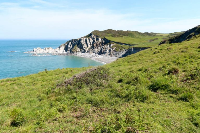
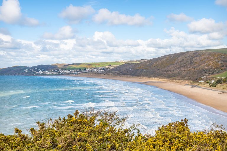
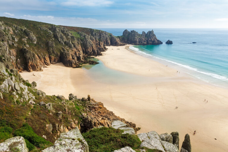
In the South West, the backbone of the route is the South West Coast Path. This long-distance trail already runs for 630 miles from Minehead to Poole.
For years, walkers have been able to follow this coastline end-to-end. My partner and I did it in 2021, and it hit the silver screen in summer 2025 in the film adaptation of The Salt Path.
So in the South West, the new coast path largely builds on this foundation. There have been a few upgrades, but physically, not much has changed here.
The difference is legal, not physical
One of the main aims of the England Coast Path is to improve access rights.
In certain areas, this includes opening up land between the trail and the sea.
This allows walkers to move more freely along beaches and clifftops. It also means negotiating access across land that was previously private.
While the route is officially open, around 20% is still not fully accessible under the new legal framework. The Guardian highlighted several of these gaps, including sections of the Jurassic Coast in Dorset.
Reasons for delays include:
- landowner objections
- environmental concerns
- the practical challenge of maintaining a safe route along an ever-changing coastline
So when you see that parts of the route are “not open”, there might be a temporary detour or redirection.
The Jurassic Coast
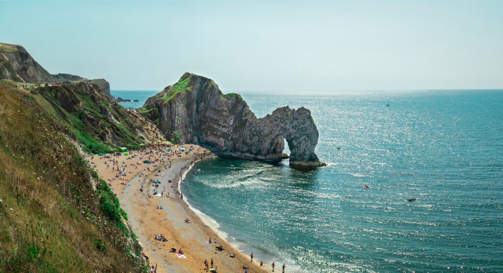
The Jurassic Coast, which stretches along the Dorset and Devon coastline, is constantly changing due to landslips and cliff erosion. Sections of path can disappear overnight, forcing diversions inland.
In these cases, Natural England now has the ability to “roll back” the route, moving it further inland when necessary.
This system is designed to keep the path continuous over time, but it also means that finalising an official line takes longer.
There are also environmental sensitivities to consider.
Some areas pass through protected habitats where increased footfall could affect wildlife. Others run close to farmland or private land, where access needs to be carefully negotiated.
Gaps that still exist
There are also a few gaps due to natural boundaries.
In South Devon, for example, the River Erme has no bridge or ferry. It’s possible to wade across one hour either side of low tide – more information here.
This hasn’t changed with the introduction of the England Coast Path.
Elsewhere in the country, missing links can involve ferries or temporary diversions. In some cases, sections are still under negotiation with landowners.
But in most cases, an alternative route already exists on the ground.
While the official opening marks a major milestone, parts of the route are still being finalised, meaning the path is both complete in concept and still evolving on the ground.