See the best of Exmoor with THIS itinerary
Sprawling across North Devon and the Somerset coast, Exmoor National Park comprises moorland, dramatic cliffs and gorgeous beaches.
Villages are peppered throughout the moor – some coastal, some inland – and of course, you’ll find a range of hikes and beauty spots.
But how to put it all together? This four day Exmoor itinerary takes you from west to east, taking in all of the highlights.
Day 1: Combe Martin, Great Hangman and the Valley of Rocks

Start on the rugged North Devon coast.
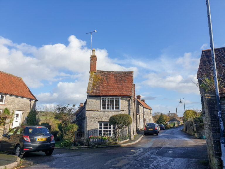
Combe Martin is a narrow, hillside village with a small beach and a cluster of independent cafés and pubs. If you’re up early, the car park at the seafront tends to have spaces even in high season.
From here, follow the South West Coast Path east – it’s a tough climb, but you’ll reach the summit of Great Hangman, England’s highest sea cliff, at 1,043 feet 380 metres). The views are uninterrupted across the Bristol Channel, with the cliffs falling dramatically away beneath you.

See my full guide to climbing Great Hangman here.
After the descent, hop back in the car and drive 25 minutes east to Lynmouth.
You’ll notice how steep the streets are: Lynmouth sits at sea level, while Lynton, its twin village, perches directly above.
The two are linked by the Cliff Railway, a Victorian water-powered funicular that’s still running daily.
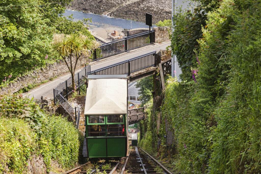
See my full blog post on the railway here.
After exploring the villages – don’t miss the poignant Lynmouth flood memorial – walk the short, level clifftop path to the Valley of Rocks. Wild goats graze among jagged rock formations that sit just above the sea. You can return via the upper path for sweeping views back toward Lynmouth Bay.
🛌 Stay in Lynmouth overnight – see some accommodation options here.
Day 2: Heddon Valley, Simonsbath and Withypool
From Lynmouth, it’s just 15 minutes by car to Heddon Valley, one of the most sheltered and peaceful spots in Exmoor.
Park at Hunter’s Inn, where there’s a small shop, café and toilets. Follow the riverside trail to Heddon’s Mouth, a quiet pebble beach at the end of the gorge.
After the walk, drive inland across the moorland to Simonsbath, a tiny settlement in the heart of Exmoor. There’s not much in the way of shops, but the riverside footpaths here feel remote and timeless.
Next, head south to Withypool. This small moorland village has a stone bridge, a cluster of whitewashed cottages, and a teahouse that’s been serving hikers for decades.
You’re now in the upper reaches of the Barle Valley, and there are several short riverside loops from the village that take in wildflower meadows and old oak woodland.
🛌 Stay in Withypool overnight – there aren’t many options, but The Royal Oak Inn is a solid choice.
Day 3: Tarr Steps, Dunkery Beacon and Porlock

Start the day with a short drive to Tarr Steps, an ancient clapper bridge spanning the River Barle. It’s thought to be medieval – though some claim it’s older – and is made of massive stone slabs without any mortar.
You can park nearby and follow a circular riverside trail through woodland, or simply wander along the riverbank.
See my full post on Tarr Steps here.
The Tarr Farm Inn is directly next to the bridge and serves lunch from midday; it’s worth booking ahead in summer.
From here, take the scenic route west to Dunkery Beacon, the highest point on Exmoor.
Park at Webbers Post, where a clearly marked trail leads up to the summit. It’s a short but steep ascent. At the top, a stone cairn marks the spot. Look west and you’ll see the Bristol Channel; on clear days, you might even spot the Brecon Beacons across the water.
After descending, continue down to Porlock. This inland village has cobbled lanes, a handful of traditional shops, and thatched cottages that feel untouched by time. Drive (or walk) the few minutes to Porlock Weir, a tiny harbour that sits below the cliffs.

The tide swings fast here, revealing mudflats and boats sat on dry land for hours at a time. There’s a good café beside the harbour and a stony beach that rarely draws crowds.
🛌 Stay in Porlock overnight – see some accommodation options here.
Day 4: Dunster, Cleeve Abbey and the West Somerset Railway
From Porlock, follow the A39 east towards Dunster, an exceptionally well-preserved medieval village.

The streets are lined with half-timbered houses and you’ll pass the 17th-century Yarn Market right in the centre. Dunster Castle (National Trust) looms above — the gardens are a highlight in spring and autumn, and the interior tells a layered story from medieval fortress to Victorian family home.


From Dunster, continue east to Cleeve Abbey, just outside the village of Washford. This is one of the most complete surviving Cistercian monasteries in England.
The dormitory roof is still intact, and you can see medieval floor tiles in the chapter house – rare survivals that give a real sense of what the abbey would have felt like in use.
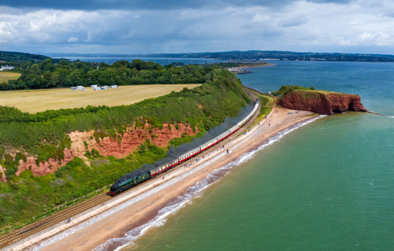
End your trip with a steam train ride on the West Somerset Railway.
The full route runs between Minehead and Bishops Lydeard, passing through stations including Blue Anchor, Watchet and Williton. See the full timetables here.
I’d recommend driving to Watchet and taking the train there, in the direction of either Bishops Lydeard or back to Minehead. Make sure you get there in good time to take the return train as well!
🛌 Stay in Minehead overnight – see some accommodation options here.
Tips for road tripping Exmoor National Park

🚗 Fuel up before you enter the moor Petrol stations are scarce within the park boundaries. Fill up in larger towns like Minehead, Barnstaple or Tiverton before heading deep into Exmoor. Many villages don’t have a shop, let alone a garage.
📱 Download offline maps Phone signal can vanish entirely on the high moor or in steep wooded valleys like Horner, Badgworthy or Barle. Download offline Google Maps and pre-load walking routes if using AllTrails or OS Maps.
🅿️ Parking is often cash-only Some Exmoor car parks still operate with honesty boxes or old-style machines. Keep a stash of £1 and £2 coins in the glove box just in case.
🐑 Watch for livestock Sheep, ponies and even cattle roam freely across Exmoor. Drive slowly, especially on unfenced roads around Winsford Hill, Simonsbath and Dunkery Beacon.
🌧️ Weather turns quickly Sunshine in Lynmouth doesn’t guarantee warmth on Dunkery. Pack for all seasons — layers, a waterproof, and sturdy walking shoes are essential year-round.
📷 You’ll want your camera ready Views change fast as you drive across the moor – wide valleys, sea cliffs, rivers and wooded coombes appear around bends with no warning. Pull into laybys to get proper shots rather than trying from the window.
🧺 Plan picnics – cafes can be few and far between There are great places to eat, but they’re often clustered in a handful of villages. A packed lunch lets you stop at beauty spots like Tarr Steps or Heddon’s Mouth without worrying about finding food.
🚶 Check walking route difficulty Not all Exmoor walks are created equal – short-sounding trails like Great Hangman or the route up Dunkery can be deceptively tough. Use elevation info and local signage to gauge properly.
🕰️ Don’t overpack your day Driving distances may seem short, but the roads are narrow, winding and slow — especially in summer when they’re busier. Allow buffer time between stops.