The Devon coast that’s constantly moving
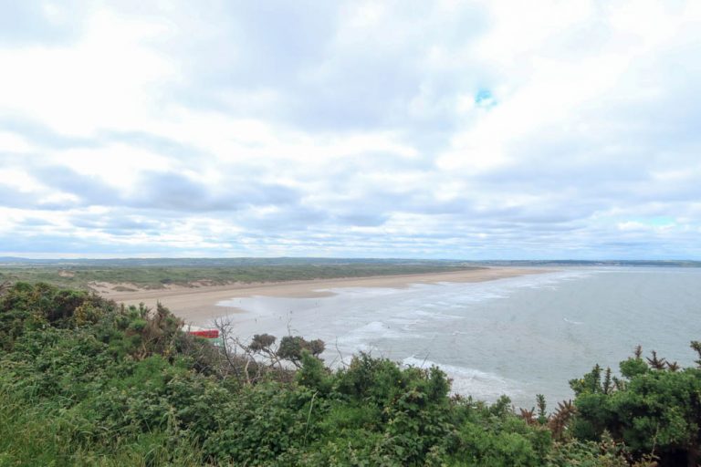
The long, narrow spit at Dawlish Warren is where the River Exe meets the sea.
Formed over thousands of years by waves and wind, it’s an example of a double-spit system on the UK coast.
The ridge of sand and shingle extends from Langstone Rock, arcs across the estuary mouth, and points inland toward Exmouth.
At around 2km long and up to 500m wide, it separates the choppy Channel from the calmer waters of the Exe.
Despite its scale, it isn’t permanent.
The spit is in constant flux, it’s reshaped by storms, tidal surges, and interrupted sediment flows. Over the last century, it has narrowed significantly, and efforts to protect it have become increasingly urgent.
How the spit formed

Around 7,000 years ago, as post-Ice Age sea levels rose, waves began pushing sand northeast along the coast. This is a process known as longshore drift.
Over time, these materials piled up across the mouth of the Exe, gradually forming what’s now Dawlish Warren. On old maps, the spit looked wider and shorter; since then, it’s stretched and thinned.
The structure you see today is the result of both natural forces and human interventions.
Coastal defences upstream now trap much of the sediment that once fed the Warren.
Breakwaters and sea walls, including those near Langstone Rock, have slowed erosion in some places but accelerated it elsewhere.
A rare double-spit system

Dawlish Warren is a double-spit – two sand ridges running side by side.
These are known as the Inner and Outer Warren. In the past, a tidal channel ran between them, forming a small inlet. That’s now filled in, but the two ridges remain visible, especially near Greenland Lake and the boardwalk trails.
This complex layout makes the spit more dynamic, but also more prone to instability. In places, the dunes are just 50 metres wide.
Without constant management, the structure could breach in future decades, which would leave Exmouth and inland marshes exposed to tidal flooding.
Why the spit matters
Dawlish Warren is also a nationally important nature reserve, with habitats that support hundreds of species.
Behind the beach, the dunes shelter salt marshes, rare grasses, and wildflowers.
Birdlife thrives here – especially in winter, when the Exe Estuary hosts brent geese, oystercatchers, wigeons, and avocets.
The spit also absorbs wave energy and keeps the main channel of the River Exe stable. Without it, tides would erode soft ground around Exminster and flood low-lying areas around Topsham.
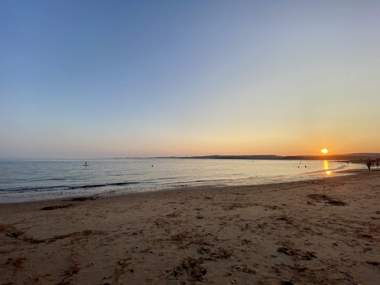
Then there’s tourism – the beach, dunes, and footpaths bring walkers, birdwatchers and families down from the train or up from the car park.
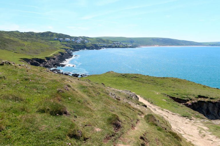
Walking and visiting the Warren

There’s a network of paths across Dawlish Warren that let you explore its full extent. Wooden boardwalks protect fragile dune plants, and signs highlight rare species and conservation efforts.
It’s worth checking tide times before your visit, especially if you plan to walk the full loop. At high tide, parts of the beach path can be cut off – especially in stormy conditions!
See more things to do in Dawlish here.
Ongoing challenges and future threats
Maintaining the spit has become more difficult in recent decades.
Sediment no longer arrives in the same volume it once did, due to upstream sea defences and groynes. Erosion during storms has removed large sections of dune.
In 2017, a major coastal management project reshaped part of the Warren and added new rock revetments and sand nourishment.
But climate change presents longer-term challenges.
Rising sea levels and stronger storms could overwhelm the defences.
A major breach would not only affect local ecosystems but reshape the entire estuary mouth, affecting Exmouth, Lympstone, and Starcross.
Because of these risks, Dawlish Warren is a focus point for conservationists, engineers, and local councils.
It’s a site where geology, ecology, and tourism all collide — and where the landscape you see today may not be here tomorrow.