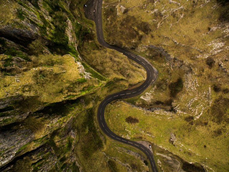
Why Devon and Cornwall’s estuaries don’t make sense
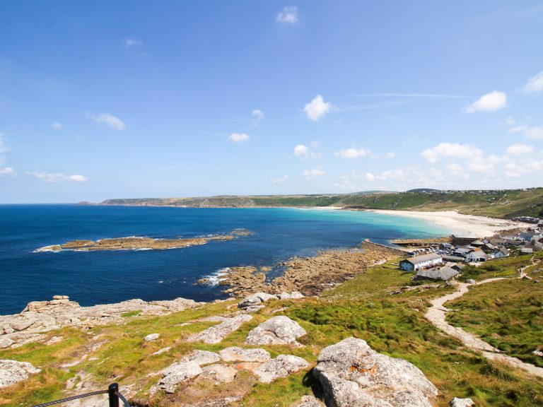
If you’ve looked at a map of South Devon or Cornwall, you’ll notice a pattern: deep estuaries cutting far inland, surrounded by steep hills and sheltered creeks.
From Dartmouth and Salcombe to Fowey, Falmouth and the Helford River, the south coast is marked by these distinctive inlets.
What you’re looking at is a series of rias – a geographical feature created during the last major shift in sea level.
What is a ria?
A ria is a drowned river valley – a coastal inlet formed when rising sea levels flood a river’s lower course. Unlike fjords, which are glacial in origin and tend to be narrow with steep sides, rias are usually wider and more gently sloping.
On the south coast of the South West, the process began at the end of the last Ice Age, around 12,000 years ago.
This region wasn’t covered by the thick ice sheets that extended across much of northern Britain, but it did experience a colder, tundra-like climate. Rivers carved deep valleys through the soft Devonian and Cornish rocks, flowing to a coastline that lay much further out than it does today.
As the glaciers melted, global sea levels rose dramatically. These valleys were flooded, leaving behind long, sheltered estuaries with tidal reaches extending miles inland.
Examples of rias in the South West
Several of the region’s best-known harbour towns and estuaries owe their shape and depth to this ancient flooding process:
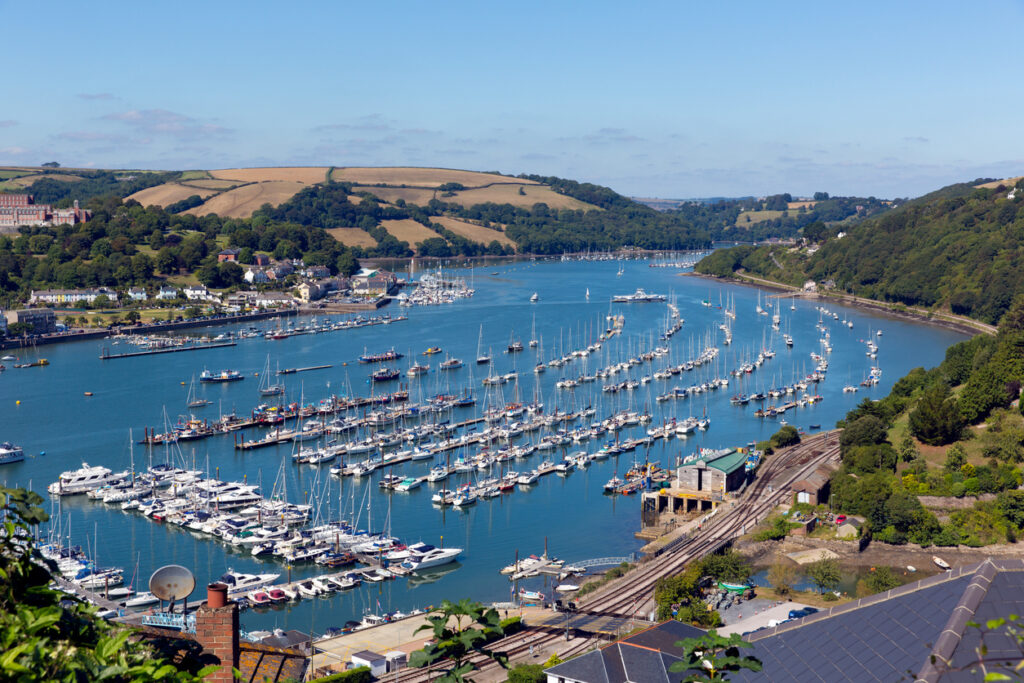
- Dartmouth: The Dart cuts steeply into the coastline, with deep water right up to Totnes at high tide.
- Salcombe–Kingsbridge: A classic ria where the scale of the estuary is far greater than the size of the rivers feeding it.
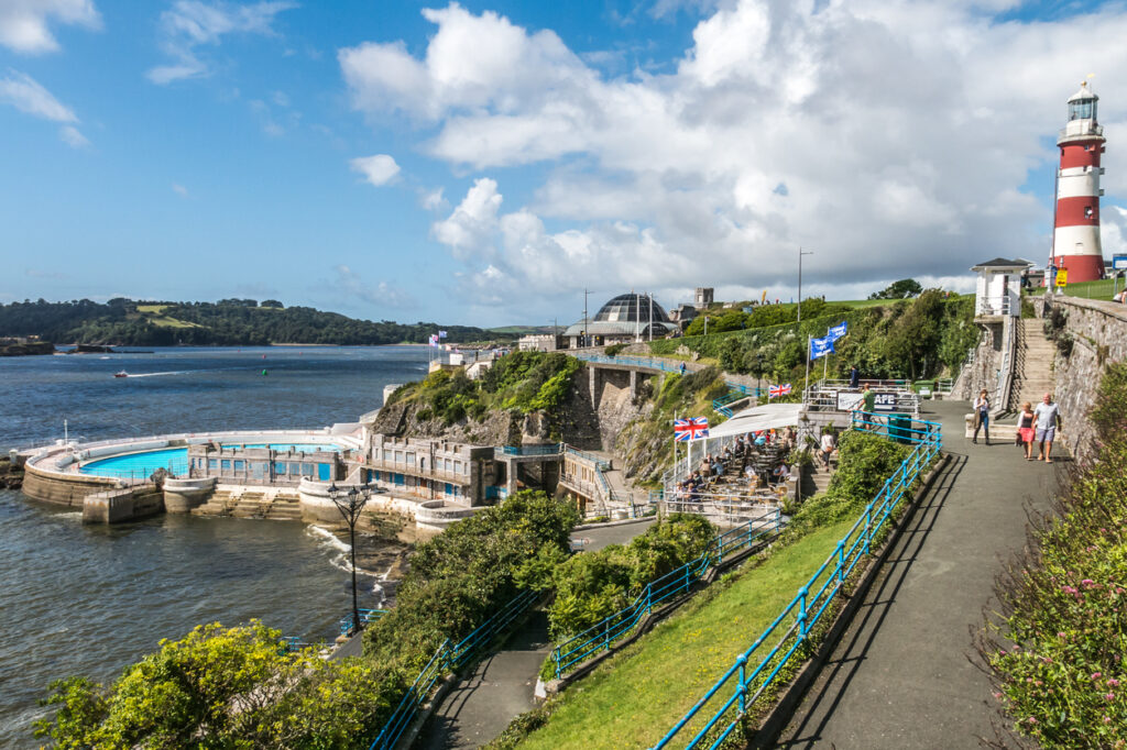
- Plymouth Sound: Fed by the Tamar, Tavy and Plym, this ria forms a wide natural harbour used since Roman times.
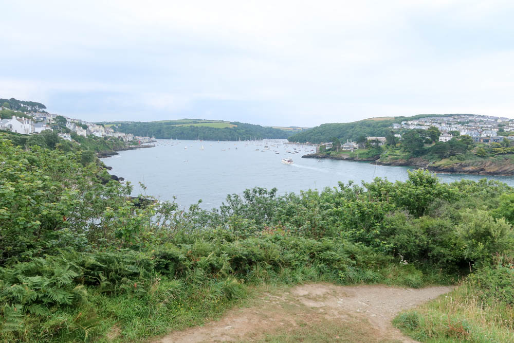
- Fowey: A narrow estuary with deep water and wooded sides, perfect for sheltering shipping.
- Falmouth and the Fal: One of the world’s largest natural harbours, formed by the flooding of multiple valleys.
- Helford River: A branching ria with quiet creeks and wooded banks, less developed but ecologically rich.
Why rias matter
Because rias were once river valleys, they’re often deeper than typical coastal inlets and retain high levels of salinity even far inland.
This allows saltwater ecosystems to thrive – including eelgrass beds, oysters, and rare estuarine plants. Some rias, like the Fal and Helford, are now Marine Conservation Zones due to their ecological importance.
Rias also offer natural shelter from storms, which is why so many became historic ports or naval bases.
The depth and shape of these estuaries make them ideal for sailing, fishing and mooring large vessels. Salcombe and Falmouth remain major yachting hubs today, while Dartmouth and Plymouth are still in active naval and commercial use.